UN
96 Anthony Drive
£ 105,000
Description
We don't have a Description for this property.
- Bedrooms
- 3
- Bathrooms
- 0
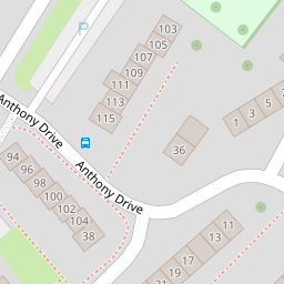
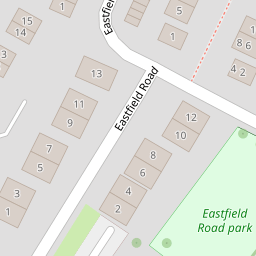
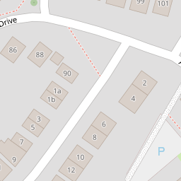
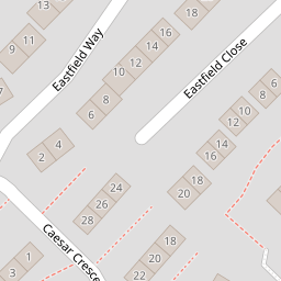


Leaflet © OpenStreetMap contributors
The heatmap indicates the level of crime in the area. The color of the heatmap indicates the crime severity and recency.
Metrics Year-on-Year
- Average area value
- 400,449.00 £Increased by 9.05 %
- Average area rental value
- 1,078.00 £/moDecreased by 1.73 %
- Est rental Yield
- 3.23 %Decreased by 9.78 %
- Crime Rate
- 20.00 %Unchanged by 0.00 %
from 367,227.00 £
from 1,097.00 £/mo
from 3.58 %
from 20.00 %
Nearby Schools
| Name | Type | Ofsted | Distance |
|---|---|---|---|
| Ysgol Gymraeg Nant Gwenlli | Welsh Establishment | 0.29 KM | |
| Caerleon Comprehensive School | Welsh Establishment | 1.25 KM | |
| Ponthir Church In Wales School | Welsh Establishment | 2.04 KM | |
| St Julian'S School | Welsh Establishment | 2.30 KM | |
| St Joseph'S R.C. Primary School | Welsh Establishment | 3.27 KM |
Images
Nearby Streets
| Name | Average Price | Average Sqft | Distance |
|---|---|---|---|
| Eastfield Drive | £ 360,000 | 0 | 0.00 KM |
| Owen Close | £ 362,500 | 0 | 0.00 KM |
| Orchard Road | £ 270,000 | 0 | 0.00 KM |
| Fairfield Close | £ 315,000 | 0 | 0.00 KM |
| Fairfield Road | £ 313,333 | 0 | 0.00 KM |
Nearby Transport
| Name | NLC | TLC | Distance |
|---|---|---|---|
| Newport (South Wales) | 3674 | NWP | 5.02 KM |
| Cwmbran | 3738 | CWM | 6.83 KM |
| Pye Corner | 1663 | PYE | 8.96 KM |
Nearby Listings
| Address | Price | Type | Score | Distance |
|---|---|---|---|---|
| Caesar Crescent, Caerleon, Newport, NP18 | £ 220,000 | BUY | 7 / 10 | 0.06 KM |
| Caesar Crescent, Caerleon, NP18 | £ 230,000 | BUY | Unknown | 0.06 KM |
| Eastfield Road, Caerleon, Newport, NP18 | £ 250,000 | BUY | 7 / 10 | 0.07 KM |
| Eastfield Road, Caerleon, Newport, NP18 | £ 290,000 | BUY | Unknown | 0.10 KM |
| Eastfield Mews, Caerleon, Newport, NP18 | £ 145,000 | BUY | 5 / 10 | 0.11 KM |
Nearby Properties
| Address | Price | Distance |
|---|---|---|
| 96 Anthony Drive | £ 105,000 | 0.00 KM |
| 98 Anthony Drive | £ 100,000 | 0.00 KM |
| 115 Anthony Drive | £ 121,500 | 0.02 KM |
| 109 Anthony Drive | £ 157,000 | 0.02 KM |
| 25 Caesar Crescent | £ 105,000 | 0.06 KM |